
The short answer
What did engineering drawings and parliamentary powers each contribute to Birmingham’s water scheme?
Read the records together
Contributions,evidence and scope
Different records illuminate different parts of this particular undertaking.
| Record | What the record establishes | What remains distinct |
|---|---|---|
| Engineering life records | Place Mansergh’s scheme among municipal commissions. | A consultant’s recommendation is not land ownership. |
| Elan chronology | Dates legislation and main construction stages. | An opening date does not settle every local consequence. |
| Landscape heritage study | Explains acquisition and physical transformation. | Does not speak for every affected resident. |
Start with the authority to build
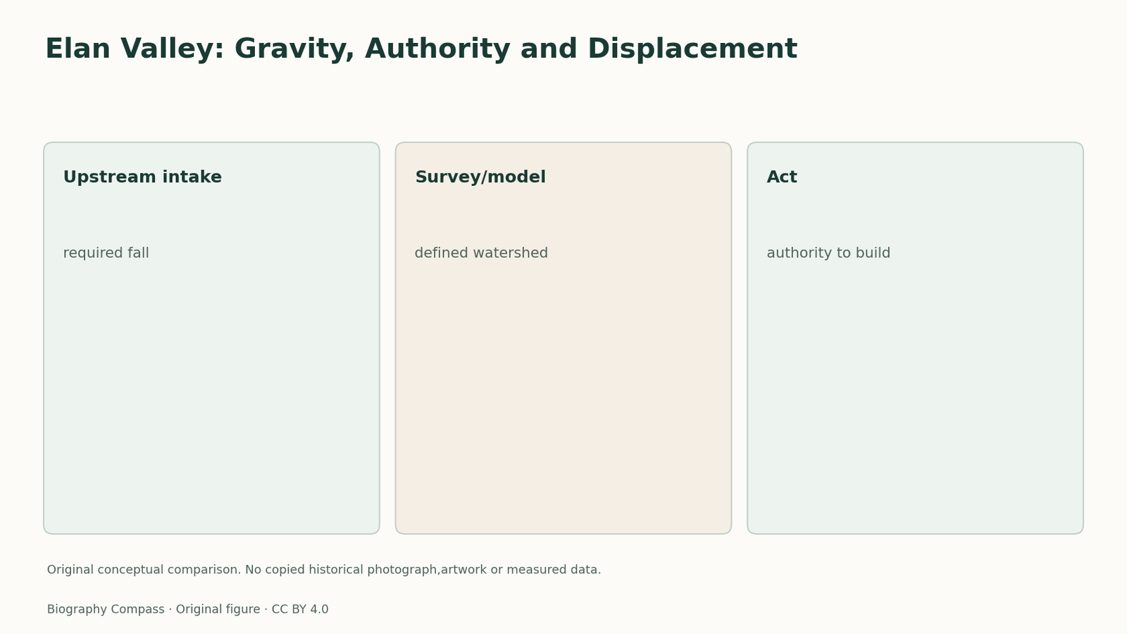
Birmingham’s water scheme required more than identifying a wet upland valley. The 1892 Act gave the corporation powers to acquire the watershed and construct reservoirs, dams and associated works. Elan Valley’s chronology records the legislation before the main construction programme. This is a useful distinction between a technical recommendation and the public authority needed to act upon it. A map could show a promising reservoir site without transferring ownership of the land or granting permission to build an aqueduct. The legal instrument addressed those questions through a different kind of decision.
An upstream intake preserved the necessary fall
The aqueduct required sufficient fall between Elan and Birmingham. The landscape study explains why water was drawn off upstream of the lowest dam at Caban-coch, using the Foel intake near the submerged Garreg-ddu weir. “Above” here concerns the intake’s position in the reservoir system, not a claim that it stood above the dam crest. This specific arrangement connects the storage works with the level needed for onward gravity flow. Survey plans, a scale model and marked watershed boundaries helped turn the valley into a defined project area. These were practical links between the land being acquired, the reservoir arrangement and the route of the water.
Sources for this section: [4]
A metropolitan benefit changed a rural place
The heritage study describes the extent of land acquired and the transformation of the valley landscape. These records add a local perspective to engineering celebrations of a new urban supply. Acquisition powers could make a large catchment manageable for the water undertaking while changing land use and settlement. This does not require inventing the experiences of individual residents whose accounts have not been inspected. It does require recognising that the project crossed more than a distance on a map. Technical convenience and statutory authority were related to the distribution of its effects, but they were not equivalent to the consent of every person affected.
Separate four stages in a project exercise
Arrange four cards in a reasoned sequence: survey and recommendation, statutory powers, construction, and operation. Place a proposed route on the first card, the 1892 Act on the second, building works and labour housing on the third, and continuing supply and maintenance on the fourth. Now assess the claim that a successful opening proves that every planning or land question had the same answer. It does not: opening records an operational milestone, not universal agreement about acquisition. This original exercise compares types of evidence rather than reconstructing historical flow rates. Its checked answer identifies the distinctive job of each record and explains why Mansergh’s design belongs within a municipal and landscape history.
Continue the chronology
Related history guides
Nottingham Water: Constant Supply Explained
Learn what Nottingham’s constant water service changed, how flow control supported supply and why operating a network differs from owning the company.
Read the timeline1891–1900Fremantle Harbour: Mouth, Bar and Authority
Compare Fremantle’s competing harbour plans, showing why removing the river-mouth bar and dredging mattered to O’Connor’s inner-harbour proposal.
Read the timelineBiography context
Explore United Kingdom through connected lives
Connected biographies
People behind this work
1834–1905
James Mansergh
Water-supply and sewerage engineerJames Mansergh is remembered for planning major municipal water and sewage schemes, including Birmingham’s Elan Valley supply.Read biography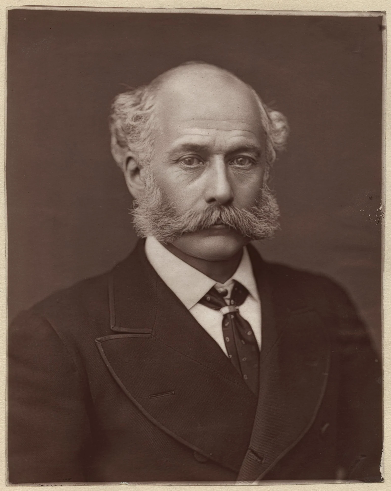
1819–1891
Joseph Bazalgette
Civil engineer and metropolitan drainage designerBazalgette designed main drainage works that carried much of London’s sewage away from central river outlets.Read biography1761–1821
John Rennie
Civil engineer and millwrightJohn Rennie the elder developed a broad civil engineering practice; several major projects, including London Bridge, were completed after his death by his sons.Read biographyQuick answers
Common questions
- Why did Elan Valley need an Act as well as plans?
- Plans addressed the engineering; the 1892 Act supplied powers to acquire land and carry out the works.
Primary and institutional sources
How this history was checked
The cited records distinguish contemporary accounts,official catalogues and later institutional or scholarly interpretation. The comparison and worked exercise are original editorial material. This article was reviewed on 7 November 2026.