
The short answer
Luang Prabang’s historic centre occupies a peninsula between the Mekong and Nam Khan rivers. Temples, former royal buildings and neighbourhoods grew within that setting. Later colonial streets and buildings were added to an existing layout. UNESCO’s 1995 inscription recognises the way those layers can still be read together.
A layered town plan
What different features reveal about Luang Prabang
Read the rivers as the setting, then examine how buildings and streets occupy it.
| Feature | Location or pattern | Why it matters |
|---|---|---|
| Mekong and Nam Khan | Two sides of the historic peninsula | Set the shape and approach of the town. |
| Temples and older neighbourhoods | Local concentrations of religious and residential life | Show the settlement pattern that preceded colonial streets. |
| Later buildings and streets | Interwoven with the earlier layout | Reveal additions rather than a single period of construction. |
Chronology
A timeline of the turning points
Temple-based settlements shape the old town
The peninsula becomes a political and religious centre.
Colonial streets and buildings are added
New building forms and roads interact with the earlier layout.
The town enters the World Heritage List
The designation includes its urban form and setting.
Technical cooperation supports conservation
Projects address protection alongside the continuing use of the town.
Why the peninsula explains the location of the historic centre
The two rivers define the shape of the peninsula, which holds former royal and religious buildings. Mount Phousi adds a prominent point within the historic town. The settlement’s setting explains why a map can be read as more than a list of sites: the temples and streets occupy a limited piece of land between waterways.
Sources for this section: [1]
How temple neighbourhoods and later building forms fit together
UNESCO describes older villages with their own temples and a later colonial network of streets superimposed on the older settlement. A walk can pass through both layers within a few blocks. Achieving town-wide protection therefore takes more than preserving one example of traditional or colonial architecture.
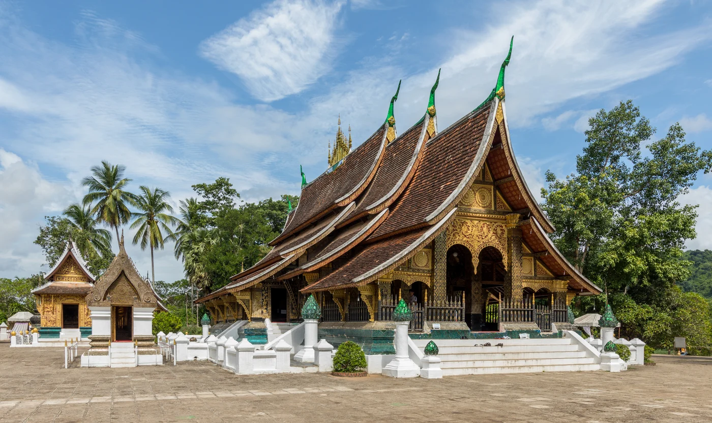
Wat Xieng Thong illustrates a Buddhist foundation. A street or neighbourhood plan supplies different evidence by showing how religious, residential and civic buildings relate to one another.
What continued use means for conservation
The town contains places of worship and buildings that continue to be used. UNESCO’s technical-cooperation programme treats enhancement and protection as local work involving management and development. Documenting how residents and institutions use the town helps explain why conservation decisions concern both individual buildings and the wider townscape.
Continue the chronology
Related history guides
Haw Kham: Luang Prabang’s Royal Palace and Museum
Trace how the former palace and its collections became a museum within the historic town.
Read the timeline1566 onwardPha That Luang: Vientiane’s Great Stupa and Its Rebuilding
Compare Luang Prabang’s religious townscape with Vientiane’s Great Stupa.
Read the timeline1993How the Nguyễn Court Planned Its Capital at Huế
Compare a different relationship between a royal centre, religious sites and a river setting.
Read the timeline1991–2014How Rivers Shaped Ayutthaya and Its Flood Risk
Compare geography’s role in forming a historic town and shaping the work of protecting it.
Read the timelineConnected biographies
People connected to this history
Quick answers
Common questions
- Which two rivers frame Luang Prabang’s historic centre?
- The Mekong and Nam Khan meet at the peninsula around the historic centre.
- What explains the mix of architectural styles?
- Later colonial buildings and streets were added to a settlement already organised around temples, residences and royal sites.
Primary and institutional sources
How this history was checked
Dates, legal milestones and historical claims are checked against the official and institutional records below. This article was reviewed on 19 November 2026.