
The short answer
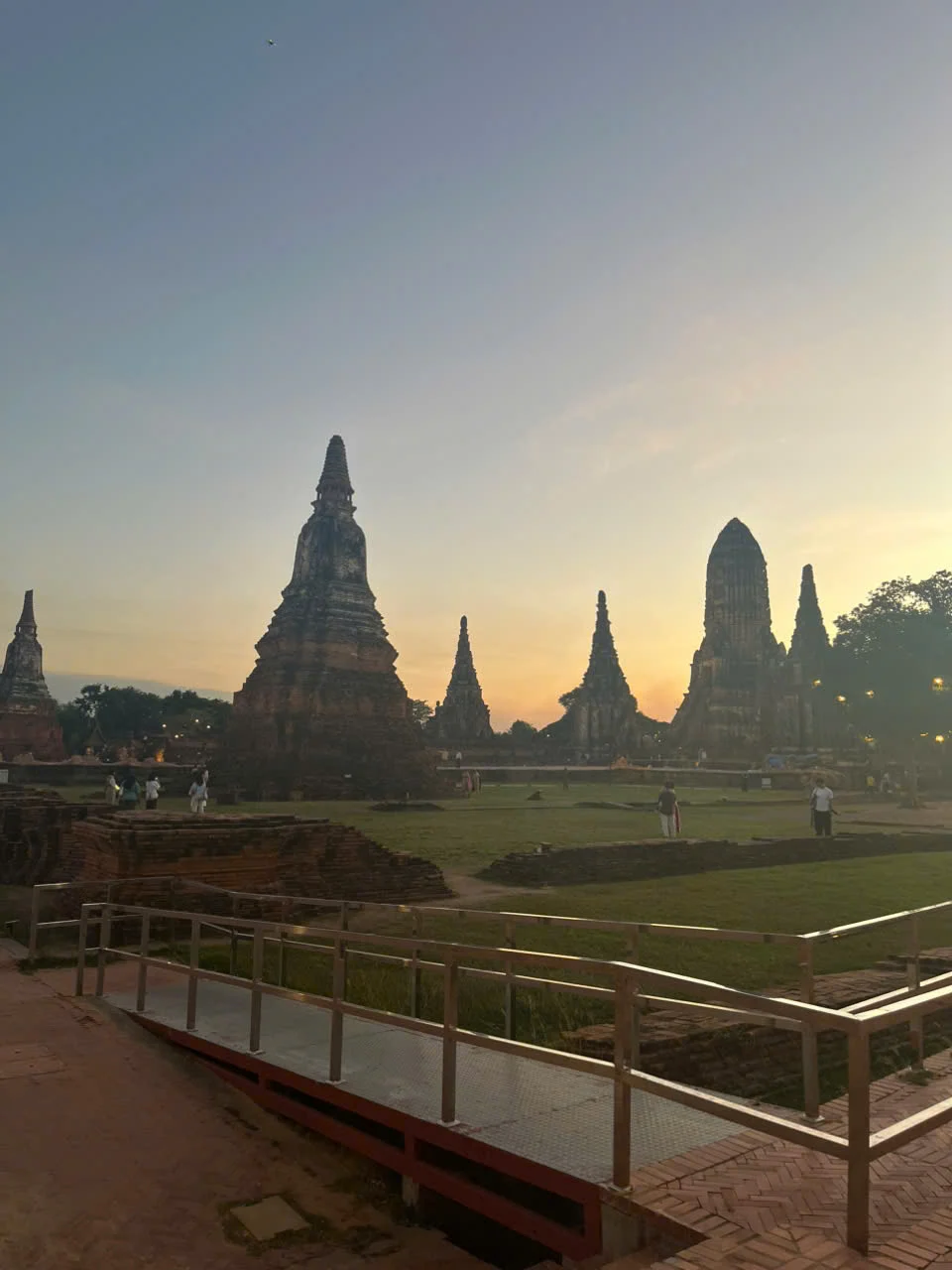
Ayutthaya grew on an island surrounded by three rivers, with canals and moats extending the use of water into the city. The relationship with water also shaped the conservation work after serious floods in 2011. A later ICOMOS mission examined water protection and damage that continued after the floodwaters had receded.
Three scales of evidence
From trading routes to damage inside a building
Water has different effects at the river, neighbourhood and monument scales.
| Scale | Record or feature | Question it can answer |
|---|---|---|
| River system | Island between rivers that lead toward the sea | How could the capital maintain regional and overseas connections? |
| Historic plan | Road and canal grid with moats | How did the capital make water part of city planning? |
| Building fabric | Wall paintings and masonry examined after the flood | Why can damage persist when the site looks dry? |
Chronology
A timeline of the turning points
Ayutthaya is founded
Its island location provides access to river transport routes.
The capital develops its network of streets and canals
Water links commercial activity and the built plan.
The historic city is inscribed
The World Heritage property recognises the archaeological evidence of the capital.
Major flooding is followed by conservation assessment
The advisory mission reviews impacts and measures already taken.
What the river location offered the capital
UNESCO describes an island surrounded by three waterways connected to the sea. This gave Ayutthaya access to trade while its planners could use canals and moats within the city. The location and the grid work together as evidence of a capital organised around mobility by both water and land.
The present World Heritage property occupies a defined area. When reading about the wider city or looking at a temple on a riverbank, check which map is being used and how it relates to the protected archaeological area.
Why the 2011 damage outlasted the flood
ICOMOS found effects in wall paintings several years after the event. Water absorbed by porous structures can leave dissolved salts behind as it evaporates. Crystal formation can interfere with painted surfaces. An inspection shortly after a flood and a later condition report may therefore record different damage.
The advisory mission also distinguishes features already affected by age from damage linked to flooding. That matters when prioritising repairs, because a problem revealed after the flood may have earlier causes.
Sources for this section: [3]
Why monument treatment is only one part of flood planning
A conservation team can examine and stabilise damaged masonry or paintings at a particular site. The ICOMOS report also considers how to protect several parts of the historic area against water entering again. A proposal for one site has to be read alongside the wider movement of water through the old city.
Continue the chronology
Related history guides
How Thailand’s Yanhee Project Became Bhumibol Dam
See what Thailand’s upstream reservoir was built to do on one tributary of the Chao Phraya.
Read the timelineApril–June 1991How Scientists Warned of Pinatubo’s 1991 Eruption
Compare the evidence used to warn of a volcanic eruption before the most destructive phase.
Read the timeline1995How Luang Prabang’s Rivers and Temples Shaped Its Plan
Compare another historic centre planned in close relationship with rivers.
Read the timeline1991Why UNESCO Listed Three Sukhothai-Era Towns Together
Compare an earlier kingdom whose sites have different roles within a single listing.
Read the timelineConnected biographies
People connected to this history
Quick answers
Common questions
- What made Ayutthaya a river city?
- Its island setting connects to wider river routes, while canals and moats are part of the internal plan.
- Did damage stop once floodwater receded?
- The 2014 advisory mission describes continuing deterioration, including effects from salts precipitating as damp walls dried.
Primary and institutional sources
How this history was checked
Dates, legal milestones and historical claims are checked against the official and institutional records below. This article was reviewed on 19 November 2026.