
The short answer
Tubbataha’s World Heritage boundary changed in 2009. The expanded property includes the two Tubbataha atolls, Jessie Beazley Reef and surrounding sea. A Philippine law adopted the following year describes how the park is managed under a no-take policy. The map and the law answer different questions about protecting the reefs.
Three records for one protected area
What each document tells the reader
Start with the location, then look at designation and management separately.
| Record | What it describes | Question it answers |
|---|---|---|
| Property description and maps | Atolls, reef and surrounding water | Which marine habitats are represented? |
| 2009 decision | Extension and revised name | How did the World Heritage property change? |
| 2010 law | Management institutions and a no-take policy | How was protection organised in Philippine law? |
Chronology
A timeline of the turning points
Tubbataha is inscribed
The Committee recognises the marine property in the Sulu Sea.
The Committee approves an extension
The decision also records the name Tubbataha Reefs Natural Park.
Philippine legislation establishes a management framework
The national law specifies a no-take policy and allocates management responsibilities.
Why the waters between the reefs matter
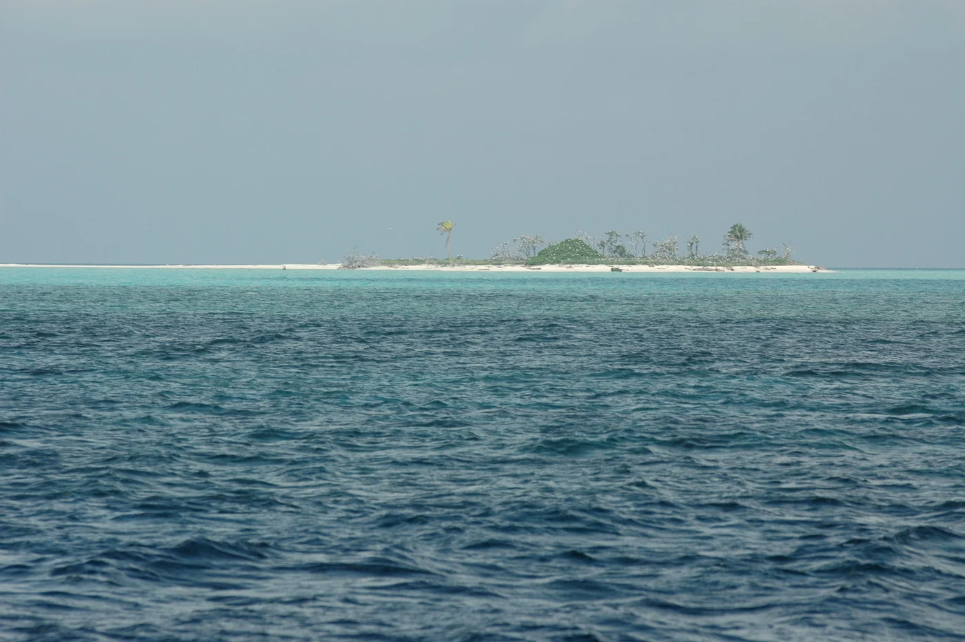
An atoll photograph can draw attention to shallow coral. The property record also includes lagoons and deeper water. The wider area provides habitat for different marine species and connects reefs with open sea. A ring on a map of a reef and the boundary of a marine park therefore show different things.
The 2009 extension includes Jessie Beazley Reef. Its relationship to the North and South Atolls is clearer on a park map than from a photograph at any one location.
What the Philippine law adds
Republic Act No. 10067 sets the policy and describes responsibilities of the protected area management board and park administration. Its no-take approach addresses removing marine resources. It is a management rule, separate from UNESCO’s decision recognising the property and approving its boundary change.
The law also provides for research and administration. A boundary identifies the area to manage. Field surveys and enforcement are ways to find out what is happening inside that area.
How to interpret the three dates
The original listing identifies an earlier property. The extension decision records a later international change. The law supplies the contemporary domestic framework. When a publication gives an area or uses an older park name, its date helps explain which version of the site it describes.
Continue the chronology
Related history guides
Connected biographies
People connected to this history
Quick answers
Common questions
- What does the expanded property include?
- The North and South Atolls, Jessie Beazley Reef and surrounding waters in the Sulu Sea.
- Which law sets out the no-take policy?
- Philippine Republic Act No. 10067, adopted in 2010.
Primary and institutional sources
How this history was checked
Dates, legal milestones and historical claims are checked against the official and institutional records below. This article was reviewed on 19 November 2026.