
The short answer
Kelud’s explosive eruption began late on 13 February 2014 in East Java. A nighttime satellite pass and later observations caught ash spreading far from the volcano. Crater images answered a second question by showing what had happened to a dome that had formed during activity in 2007.
Reading the records
Which observation establishes what
An ash cloud and a changed crater are visible in different kinds of records.
| Record | Measures | Use |
|---|---|---|
| Infrared and visible images | Plume pattern through time | Track where ash moved. |
| Lidar | Vertical layers along a satellite track | Estimate the height of ash and other cloud layers. |
| Crater images | Changes at the summit | Compare the dome before and after the explosion. |
Chronology
A timeline of the turning points
Lava dome emerged
The earlier eruption left a dome in the crater.
Explosive eruption
Ground and satellite records document the event at different moments.
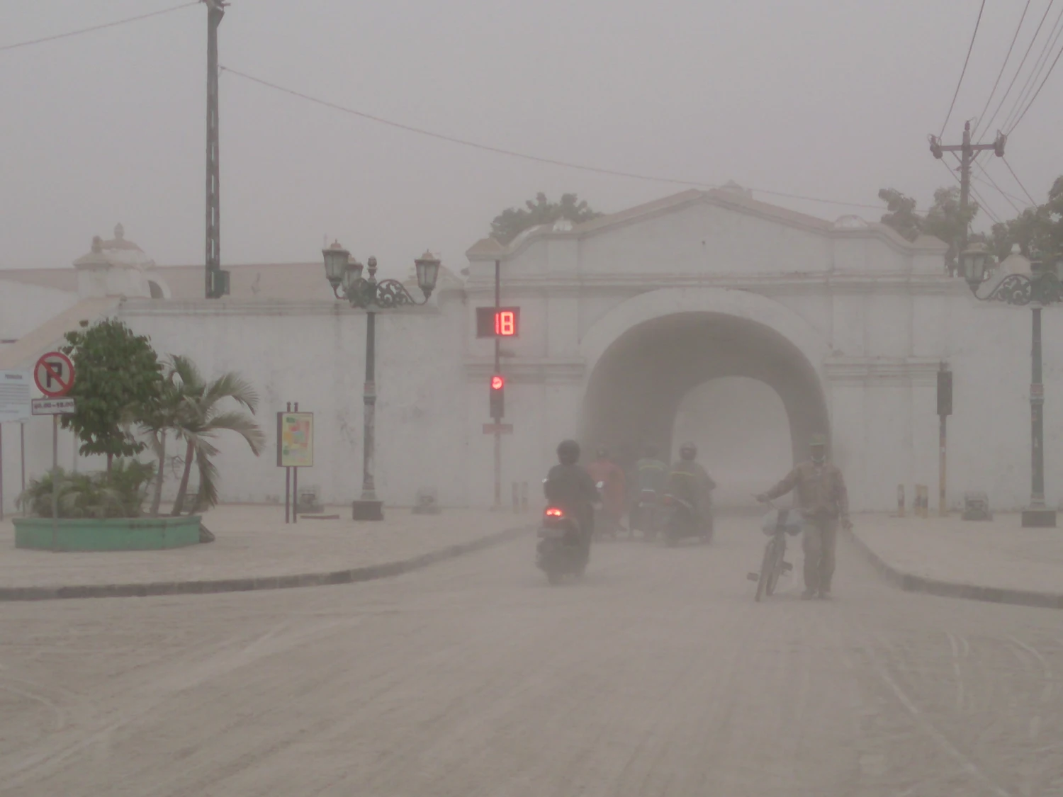
Ash cloud and ashfall observed
Satellite instruments sampled the plume and observers recorded ash on the ground.
Crater imaged
Later imagery documented changes to the summit area.
The record can cross midnight
The eruption began late on 13 February local time. Some satellite images of the developing cloud were acquired after midnight in Java, while the corresponding UTC date was still 13 February. A date on an image therefore needs its time standard and an explanation of what the image recorded. The source time of the eruption is a separate entry.
What satellites could tell about height
The Smithsonian’s compilation describes lidar results placing much of one sampled ash cloud around 18 to 19 kilometres altitude. The reported height concerns a satellite track through the cloud. The sample and the highest plume feature need not be the same number. Later observations traced the movement and persistence of ash as it spread away from the summit.
The crater preserved evidence of an earlier chapter
A dome grew during activity in 2007. Photographs and images in the bulletin show it before the 2014 eruption and document that it was destroyed. Ashfall across parts of Java and the change in summit geometry belong to the same February event. They are best established by different observations taken at different times.
Continue the chronology
Related history guides
Connected biographies
People in this history
Quick answers
Common questions
- Was Kelud’s eruption on 13 or 14 February?
- The explosive event began late on 13 February local time. Observations and ashfall continued on 14 February.
- What happened to the 2007 lava dome?
- It was destroyed in the 2014 eruption, as the before-and-after crater record shows.
Primary and institutional sources
How this history was checked
Dates, legal milestones and historical claims are checked against the official and institutional records below. This article was reviewed on 19 November 2026.