
The short answer
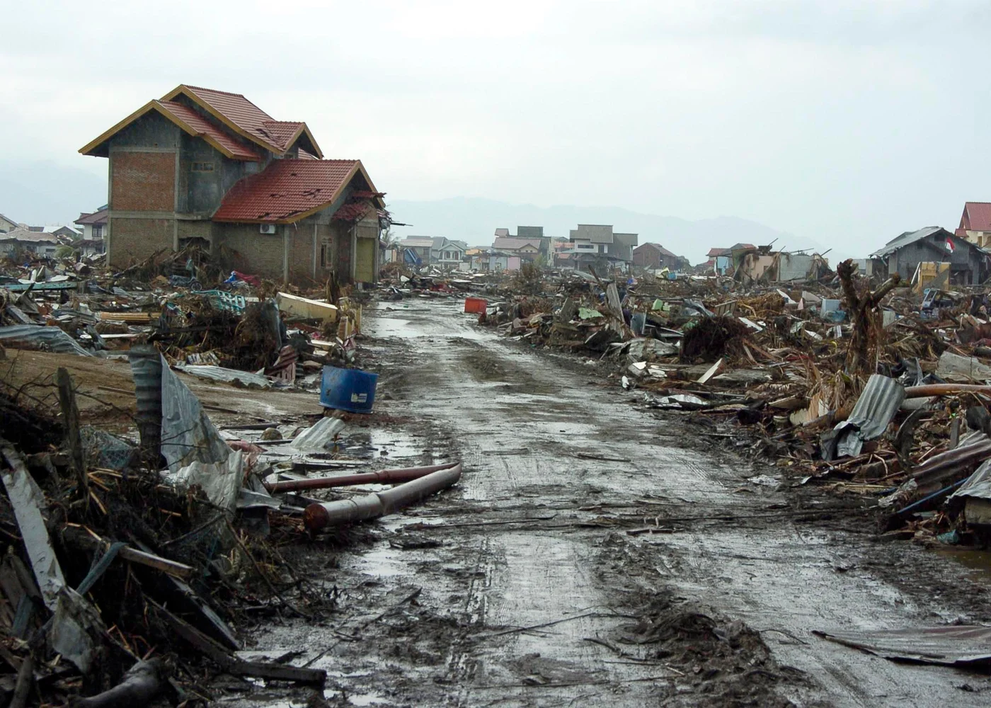
The 2004 tsunami damaged land records and erased many physical markers. In Aceh, survivors and heirs needed ways to establish boundaries and claims before rebuilding. The Reconstruction of Aceh Land Administration System project combined community-level evidence with surveys and registration by Indonesia’s land agency.
From claim to certificate
Three stages create different records
Follow a parcel through local evidence, survey and the agency’s final documentation.
| Stage | Who contributes | Record it produces |
|---|---|---|
| Community mapping and adjudication | Neighbours, claimants and facilitators | Sketches, statements and local evidence of boundaries or claims. |
| Survey and official verification | Land agency staff alongside participants | Measured boundaries and documentation for registration. |
| Registration and distribution | Indonesia’s land administration agency | An official entry and a title certificate for a registered claim. |
Chronology
A timeline of the turning points
The tsunami destroys buildings and records
Some communities lose visible parcel markers as well as formal evidence.
The land administration project starts
Community-driven adjudication is used alongside official survey and registration work.
The project closes
The completion report records titles delivered, remaining gaps and administrative improvements.
Why reconstructing land claims mattered to rebuilding
A building project needs a place to be built. If title documents or landmarks are destroyed, people may have difficulty showing who had rights to a parcel. Community mapping let neighbours and claimants record what they remembered while facilitators helped document the result.
That evidence fed into a formal process. The completion report describes community-driven adjudication and the land agency’s work to survey plots and register titles. A community map records knowledge about the land. The certificate comes from the official registration process.
How the programme treated women’s claims
The Bank’s reporting describes attention to individual and joint titling for women, including where claims were inherited. Recovery could bring several people’s claims to the same parcel into view. Public documentation and formal registration were distinct points at which those claims could be recognised.
The project’s gender brief counted certificates issued to women individually or jointly. That combined category should be read with its definition. It does not describe only sole ownership.
What the closing numbers can tell us
The completion report gives 222,628 certificates distributed under the project over four years. Its targets and results cover the programme’s work rather than every parcel in Aceh. A reader can use the totals to compare official production and ambitions while keeping the different categories of claims in view.
Continue the chronology
Related history guides
Connected biographies
People connected to this history
Quick answers
Common questions
- What did RALAS stand for?
- Reconstruction of Aceh Land Administration System.
- Did a community sketch itself create an official title?
- The sketch supplied local evidence. Survey, verification and registration by the land agency were separate steps.
Primary and institutional sources
How this history was checked
Dates, legal milestones and historical claims are checked against the official and institutional records below. This article was reviewed on 19 November 2026.