
The short answer
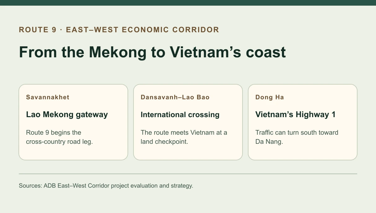
Route 9 gave the East–West Economic Corridor a practical road crossing through southern Laos. From the Mekong at Savannakhet, the road runs east to Dansavanh. Across the Vietnamese border at Lao Bao, the road continues to Dong Ha, where it meets National Highway 1. A 2008 Asian Development Bank evaluation credited the road works with improving transport between the two countries while finding that the gains in longer-distance trade were still limited.
The route in practice
Three links in the road journey
Each link addresses a different delay that a truck or bus can encounter.
| Link | What changed | What still mattered |
|---|---|---|
| Savannakhet and Route 9 | An all-weather road improved movement across Laos. | The crossing from Thailand depended on a separate bridge project. |
| Dansavanh–Lao Bao | The route connects at an international checkpoint. | Opening hours, inspection steps and border arrangements shaped transfer times. |
| Dong Ha | The eastbound route reaches Vietnam’s north–south Highway 1. | A truck continuing towards Da Nang still has a separate coastal road leg. |
Chronology
A timeline of the turning points
A corridor initiative links four countries
The regional strategy includes Myanmar, Thailand, Laos and Vietnam.
Lao Bao and Dansavanh begin a border pilot
The project’s new facilities become a testing ground for coordinated inspections.
ADB reviews the narrower road project
Evaluators distinguish improvements in driving conditions from the still limited growth in regional through traffic.
Where the road project began and ended
The Greater Mekong Subregion strategy covered a broad corridor from Da Nang in Vietnam toward Mawlamyaing in Myanmar. The road project that ADB evaluated in 2008 was more specific. It concentrated on the road between Kaysone Phomvihane, the city also known as Savannakhet, and Dong Ha. The Lao side included rural road improvements, so the project also changed access from villages to nearby markets and services.
The route has a useful two-part geography. The bridge over the Mekong brings traffic from Thailand onto the Lao road. At the eastern end, the Lao Bao crossing carries that traffic into Vietnam. Both crossings influence whether the highway works as a long-distance route.
What the 2008 evaluators actually saw
The evaluation credited the project with improving transport efficiency on both national sections. It also found that most traffic on the upgraded roads still began and ended within the same country. Among goods that crossed borders, bilateral trade was more visible than traffic moving through several countries.
That pattern helps explain why a road can be valuable locally before its regional trade forecast is met. A village delivery uses a more dependable surface immediately. A trip across several jurisdictions also relies on border recognition, vehicles and freight services.
Sources for this section: [1]
How the border pilot fitted into the route
Lao Bao and Dansavanh started the first stage of their coordinated border programme in 2005. JICA’s later infrastructure survey describes the phases and their delays, including shortages of room for planned inspection facilities. The ADB evaluation treated these institutional and operational issues separately from the physical road works. Read the evaluation as evidence about the conditions it recorded in 2008, with later border reforms taking effect on their own timetable.
Continue the chronology
Related history guides
How the Second Thai–Lao Friendship Bridge Linked Route 9
Follow the bridge that brought the route to Mukdahan in northeast Thailand.
Read the timeline2005–2015How Lao Bao and Dansavanh Set Up One-Stop Border Checks
See how the eastern border pilot developed into a one-stop inspection.
Read the timeline1997–2005How the Hải Vân Tunnel Changed Vietnam’s Highway 1
Compare a separate upgrade on Vietnam’s coastal Highway 1, further south toward Da Nang.
Read the timelineConnected biographies
People connected to this history
Quick answers
Common questions
- Is Route 9 the entire East–West Economic Corridor?
- Route 9 supplies the core crossing through southern Laos, with the corridor extending west through Thailand and Myanmar and east through Vietnam.
- What did the ADB find in 2008?
- Road transport had become more efficient, while limited through traffic and remaining border barriers held back wider regional gains.
Primary and institutional sources
How this history was checked
Dates, legal milestones and historical claims are checked against the official and institutional records below. This article was reviewed on 19 November 2026.