
The short answer
A fragile footprint surface can be documented for study and covered for protection. Each decision changes what a later visitor can observe.
Evidence at a glance
Why did documentation and reburial have different jobs?
Match each piece of evidence to a specific inference.
| Evidence | What it supplies | How to read it |
|---|---|---|
| Photograph | Captures appearance in one recorded view. | Check orientation and overlap. |
| Cast | Carries surface shape to another setting. | Keep the source and production date. |
| Cover | Manages exposure at the site. | Monitor changes over time. |
Chronology
A timeline of the turning points
Excavation and documentation
More prints are exposed and recorded.
Initial reburial
The trackway is covered following documentation.
Conservation program
A new assessment informs protective work.
Record the surface while it can be seen
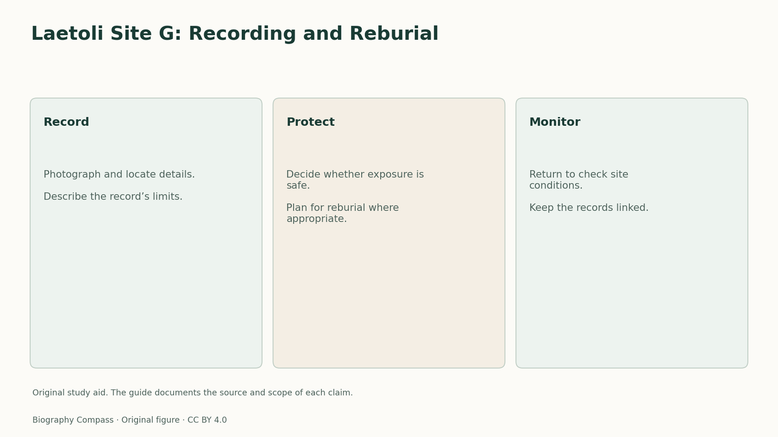
The Laetoli team excavated the trail in 1978 and 1979. The conservation project’s history distinguishes direct observation from photographs, casts and measurements made from images. Each record answers a slightly different question. A photograph can retain surface appearance at the moment it was taken. A cast preserves shapes that can be handled or inspected away from the original setting. A location record helps put a footprint into a sequence.
Covering the trackway creates new monitoring work
The original surface was reburied after documentation. This reduced direct exposure, but later investigators found that plants and roots created risks of their own. Getty’s account of the conservation program describes mapping, stabilizing the site and assessing the friable material. The team also considered the potential damage from making another mold. These records show that access to the original is itself a decision with consequences.
Plan a classroom check after covering
Imagine a teaching surface divided into four squares. Take overlapping photos and make a sketch marking where each view was recorded. Cover the surface, then give a second group only the records. Ask them to locate a mark at a square boundary. If both photographs show the mark but the sketch omits the boundary, they can see the shape and still have trouble placing it. This is an invented planning exercise with no Laetoli measurements.
Keep documentation and protection separate in a label
A caption can give a date for excavation, a date for the scientific publication and a date for a conservation intervention. It should also say which object the reader is seeing. The original impressions, a museum cast and a photograph are connected by documentation. Keeping their roles distinct is more informative than using one discovery date for every item.
Continue the chronology
Related history guides
Biography context
Explore Kenya through connected lives
Connected biographies
The researcher behind the records
1913–1996
Mary Leakey
Archaeologist and fossil researcherLeakey used excavation and recording to turn East African fossils and trackways into evidence that other researchers could inspect.Read biographyQuick answers
Common questions
- Can a cast preserve the original surface in place?
- A cast is a separate record of shape. Protecting the original surface requires conservation at the site.
Primary and institutional sources
How this history was checked
Publication dates and specimen records describe different events. Invented exercises are labelled. This article was reviewed on 5 November 2026.