
The short answer
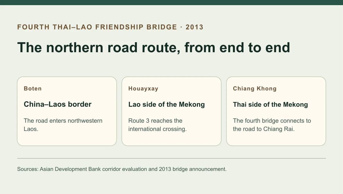
The Fourth Thai–Lao Friendship Bridge opened in December 2013 between Chiang Khong in Thailand and Houayxay in Laos. It closed a gap where the Mekong interrupted a road from northern Thailand through Laos to China’s Yunnan province. The bridge was the final river link on that alignment, following years of work on the road through northwestern Laos.
The missing river link
How the pieces of the route fitted together
Going from northern Thailand toward Yunnan means crossing two international borders.
| Part | Location | Why it mattered |
|---|---|---|
| Thai connection | Chiang Rai to Chiang Khong | The Thai network carries vehicles to the river. |
| Fourth Friendship Bridge | Chiang Khong to Houayxay | A fixed road span crosses the international boundary. |
| Lao Route 3 | Houayxay to the border at Boten | An overland leg links the Mekong crossing to China. |
Chronology
A timeline of the turning points
ADB approves the northern road project in Laos
The project improves the land connection toward Yunnan and northern Thailand.
Road works approach the river
The bridge is developed separately from the road section through Laos.
The Fourth Friendship Bridge opens
Vehicles gain a fixed connection between Houayxay and Chiang Khong.
Where the fourth bridge sits
The opening linked Chiang Khong, in Chiang Rai province, with Houayxay on the opposite bank. This is the northern crossing on the route towards China through northwestern Laos. Along the same river, other Friendship Bridges serve the Vientiane and Savannakhet corridors. Identifying the towns matters because those bridges handle quite different land journeys.
What had already been built
An ADB evaluation traces the Northern Economic Corridor project to a December 2002 approval. The Lao road investment joined two portions of a much longer international route. It linked the area facing northern Thailand with the China border. Before the bridge opened, travellers could drive individual legs of the route, but a river crossing remained at the Thai–Lao boundary.
ADB’s 2013 opening announcement lists a 480-metre bridge, a viaduct, link roads and border facilities. Treating the 480 metres as the length of the full project would omit those essential approach and control works.
What completion meant for the corridor
When a new road joins existing infrastructure, completion can refer to one route and one kind of work. Here, it described the fixed physical connection between the named border towns as part of the broader North–South Economic Corridor. Border controls, transport services and logistics arrangements still shape the journey’s time and cost. The 2016 regional integration report is useful for comparing the classification of the crossing with the announcement made on opening day.
Continue the chronology
Related history guides
How the First Thai–Lao Friendship Bridge Opened in 1994
Compare the bridge built nearly two decades earlier between Nong Khai and the Vientiane area.
Read the timeline2021–2022How Laos’s Thanaleng Dry Port Connects Trucks and Trains
See how a later inland terminal addressed transfer between road and rail near Vientiane.
Read the timelineConnected biographies
People connected to this history
Quick answers
Common questions
- Where is the Fourth Thai–Lao Friendship Bridge?
- It links Chiang Khong in Thailand and Houayxay in Laos over the Mekong.
- Which corridor gained a fixed crossing in 2013?
- The North–South Economic Corridor gained a fixed Mekong link on its route from northern Thailand through Laos toward Yunnan.
Primary and institutional sources
How this history was checked
Dates, legal milestones and historical claims are checked against the official and institutional records below. This article was reviewed on 19 November 2026.