
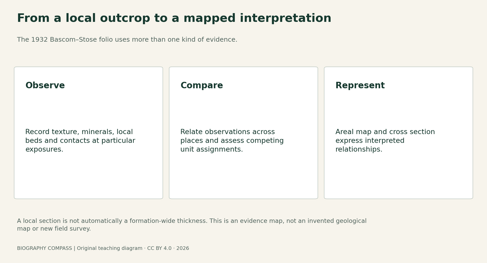
The short answer
How can a geologist justify a mapped rock unit, and how much can one quarry section establish? Use the published Coatesville–West Chester folio to separate rock description, correlation, mapped distribution and interpreted structure.
Original evidence comparison
Match each record with the claim it can support
The same investigation can combine direct descriptions and spatial interpretations.
| Country | Useful evidence | Limit of that evidence |
|---|---|---|
| Rock/mineral description | Texture and constituents help distinguish materials. | Similar-looking samples need not share the same origin or age. |
| Published quarry section | A local order and listed bed thicknesses. | It does not establish uniform formation thickness across the map. |
| Contacts and sequence | Relative relationships help test a correlation. | They do not by themselves give an absolute date. |
| Areal map and structure section | A synthesis of distribution and interpreted geometry. | The below-surface section is not a continuous direct exposure. |
Chronology
A timeline of the turning points
Bascom joined USGS
Survey research complemented her teaching at Bryn Mawr.
Map-sheet edition
The inspected West Chester areal and structure sheets bear this edition date.
Folio published
The text and maps appeared as Coatesville–West Chester Folio 223.
Names and correlations revisited
Subsequent regional work revised interpretations; the historical legend is not a current site assessment.
Start with the publication and its division of work
The USGS identifies the 1932 Coatesville–West Chester folio as Folio 223, authored by Florence Bascom and George W. Stose. The first-page note is unusually useful: Bascom wrote the descriptions except those of the Paleozoic sediments and their history, which Stose wrote. The inspected West Chester map sheets carry an August 1931 edition date. A sheet date, a folio publication year and an individual’s field visit are different facts. This guide uses published observations and maps; it does not reconstruct an undocumented day in Bascom’s fieldwork.
A rock description does more than match a colour
The text describes Cockeysville marble through texture, colour and constituent minerals, comparing it with other limestones in the district. It is generally coarser and lighter than the Chester Valley limestones, while differing from the Franklin limestone in grain size and associated minerals. These distinctions help identify material, but a white rock is not automatically the same unit as every other white rock. Weathering, alteration and local variation complicate comparisons. The report’s mineral descriptions and chemical analyses add information beyond the colour assigned to the formation in the printed legend.
Sources for this section: [2]
Correlation also depends on relationships between rocks
The folio discusses the marble’s position above Baltimore gneiss, separated by the quartzose Setters formation, and below the Wissahickon rocks. It uses that sequence in correlating the material with Cockeysville marble in Maryland, revising an earlier association with Chester Valley limestone. This is an argument from geological relationships as well as resemblance. The areal sheet represents where units were mapped; the separate structure sheet adds interpreted relationships beneath traverses. A printed cross section is an interpretation supported by observations, not a photograph of an exposed wall stretching across the whole quadrangle.
Original exercise: add a published local section carefully
The text’s Acme quarry section near Baker station lists four beds: phlogopitic grey limestone, 10–30 feet; tremolite–phlogopite–quartz rock, 16–18 feet; white granular limestone, 10 feet; and magnesian marble, 50 feet. This exercise reorganises the published list; it does not report a new measurement or promise present-day quarry access. Add the listed minima and maxima. Then assess three claims: the listed section totals that interval; the entire mapped formation everywhere has that thickness; and the measurements establish an absolute geological age. Which claim follows from the arithmetic and which require other evidence?
Sources for this section: [2]
Suggested answer: a local total is not a regional thickness
The minimum is 10 + 16 + 10 + 50 = 86 feet. The maximum is 30 + 18 + 10 + 50 = 108 feet. That interval summarises the four listed beds at this section, under the simple assumption that their stated ranges can be combined. It does not show that every extreme occurred together, that the full formation was exposed, or that the same thickness applies elsewhere. Neither adding thicknesses nor identifying carbonate minerals supplies an absolute age. The formation-wide thickness and correlation discussion is a separate argument. Keeping these statements apart prevents a correct calculation from supporting an unjustified geological conclusion.
Sources for this section: [2]
Compare the evidence layers instead of treating them as duplicates
The local section records a particular succession. Mineral and chemical descriptions characterise material. A contact or sequence constrains relationships among units. The areal map combines observations into a spatial interpretation, while a structure section extends interpretation below the surface. Agreement among these layers can strengthen an account, but they are not independent measurements of exactly the same property. A colourful region on the map does not replace the observations behind it, and a local sample does not automatically establish the unit’s extent across covered ground.
Read the historical model without freezing it in time
The 1932 folio uses age assignments and formation names belonging to its period. Maryland Geological Survey explicitly warns that its own historical Eastern Piedmont legend includes superseded Wissahickon terminology and is for historical illustration. That warning concerns Maryland and does not supply a modern replacement map for West Chester. It does show why an old name must be checked in its region and date. Bascom’s enduring contribution includes observations and documented reasoning that others could inspect and revise. The lesson is to preserve the path from evidence to map while remaining clear about the limits of the historical interpretation.
Continue the chronology
Related history guides
Biography context
Explore United States through connected lives
Connected biographies
People and research
1862–1945
Florence Bascom
Geologist, petrographer and university educatorFlorence Bascom combined laboratory study of rocks with geological mapping and teaching. She became the first woman hired by the USGS and built a Bryn Mawr programme that trained an important generation of women geologists.Read biographyQuick answers
Common questions
- Is the quarry exercise new fieldwork?
- No. It is a new calculation using the four bed thicknesses printed in the 1932 folio. No modern measurements or access conditions are claimed.
- Should the folio’s formation ages be treated as present consensus?
- No. Its terminology and correlations belong to a historical interpretation. Later regional mapping and nomenclature must be checked separately.
Primary and institutional sources
How this history was checked
Original records and institutional histories support the historical account. Exercises and comparisons are newly written teaching aids; they do not reproduce historical field notes, software benchmarks or archival illustrations. This article was reviewed on 27 October 2026.
- U.S. Geological SurveyCoatesville–West Chester folio, Pennsylvania–Delaware (1932), Folio 223: publication record
- F. Bascom and George W. Stose; U.S. Geological SurveyDescription of the Coatesville and West Chester Quadrangles, Folio 223 (1932), original text
- F. Bascom and George W. Stose; U.S. Geological SurveyFolio 223: West Chester quadrangle, Areal Geology, edition of August 1931
- F. Bascom and George W. Stose; U.S. Geological SurveyFolio 223: West Chester quadrangle, Structure Sections, edition of August 1931
- Maryland Geological SurveyEastern Piedmont metasedimentary rocks: historical legend and nomenclature warning
- U.S. Geological SurveyFlorence Bascom, Trailblazer of the U.S. Geological Survey (2023)